
At Sandhurst, we aim to inspire our pupils to be curious about, fascinated by, and have an appreciation for the world in which we live. We celebrate the different places and people around the world that reflect our rich and diverse school community.
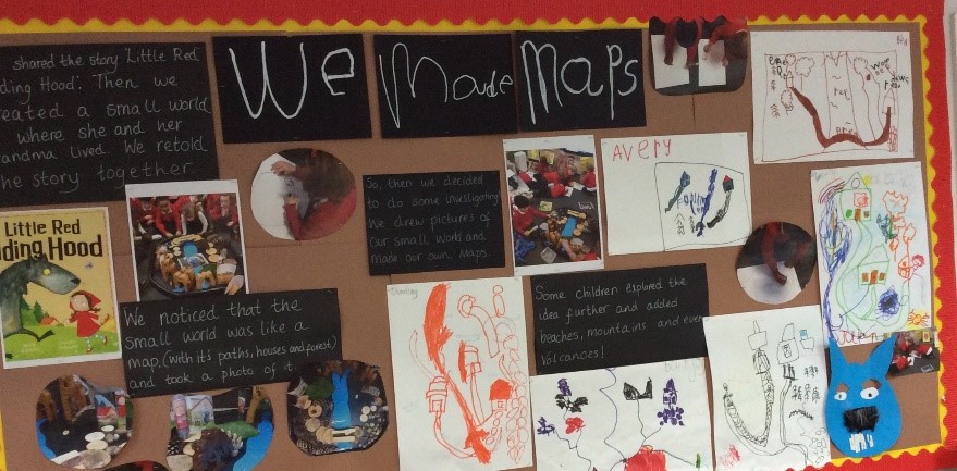
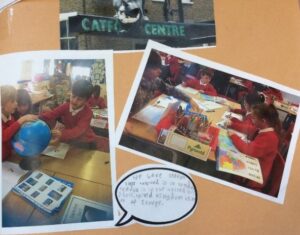
Pupils learn about the local environment and the world around them. They learn locational knowledge, mapping, the human and physical features of a place, and complete fieldwork. Children are provided with opportunities to acquire and develop their geographical skills for example, through creating scaled maps.
Our geography curriculum gives children the opportunity to develop their skills and knowledge and visit places of geographical interest and relevance to enhance their learning.
The Geography Learning Journey
In Early Years (EYFS), children develop their knowledge and understanding about the natural world, people, culture, and communities by exploring, observing, and drawing their immediate environment. Stories and non-fiction texts are read to the children and discussed to support this understanding further.
Key stage 1
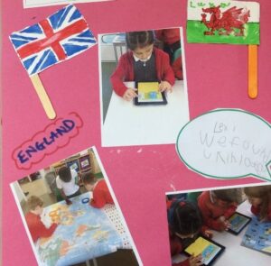
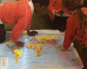
In Year 1 and 2, pupils develop knowledge about the world by learning about the seven continents and five oceans. They study the United Kingdom, in particular the seasons, weather patterns and some human and physical features. Children will study these and then look at the similarities and differences between a small area of the United Kingdom and a small area in a contrasting non-European country.
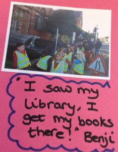
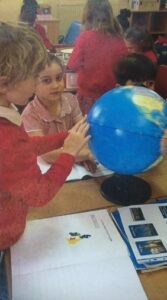
Pupils also investigate their surroundings and immediate locality, making observations. Vocabulary relating to human and physical geography is taught, and children begin to learn about and use world maps, globes, atlases, simple compass directions, and aerial photographs to develop their geographical skills.
Lower Key Stage 2
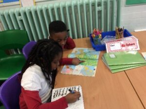
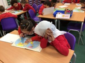
In Year 3 and 4, pupils locate European countries using maps, atlases, globes and digital mapping with a focus on their environmental regions, key physical and human characteristics, countries and major cities. They build on their knowledge and understanding of the United Kingdom by studying key topographical features (including hills, mountains, coasts, and rivers) and considering how these may have changed over time. Compass work is developed and four-figure grid references, symbols, and keys are introduced in map work. Fieldwork continues, with a focus on observing, measuring, recording and presenting key physical and human features in the local area through sketching maps, plans and graphs. Children also describe earthquakes and volcanos and how they are formed.
Upper Key Stage 2
In Year 5 and 6, pupils locate countries around the world and study similarities and differences between a region of the United Kingdom and a region within North or South America or a European country. Pupils learn about climate zones, biomes, and vegetation belts. They study economic activity including trade links and the distribution of natural resources such as energy, food, minerals, and water. Children identify and discuss latitude, longitude, the Equator, the Northern and Southern hemisphere, tropics, temperature, and time zones. Through Geographical enquiry, pupils use primary and secondary sources of evidence to analyse and draw conclusions; for example, comparing land use and temperature.